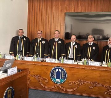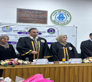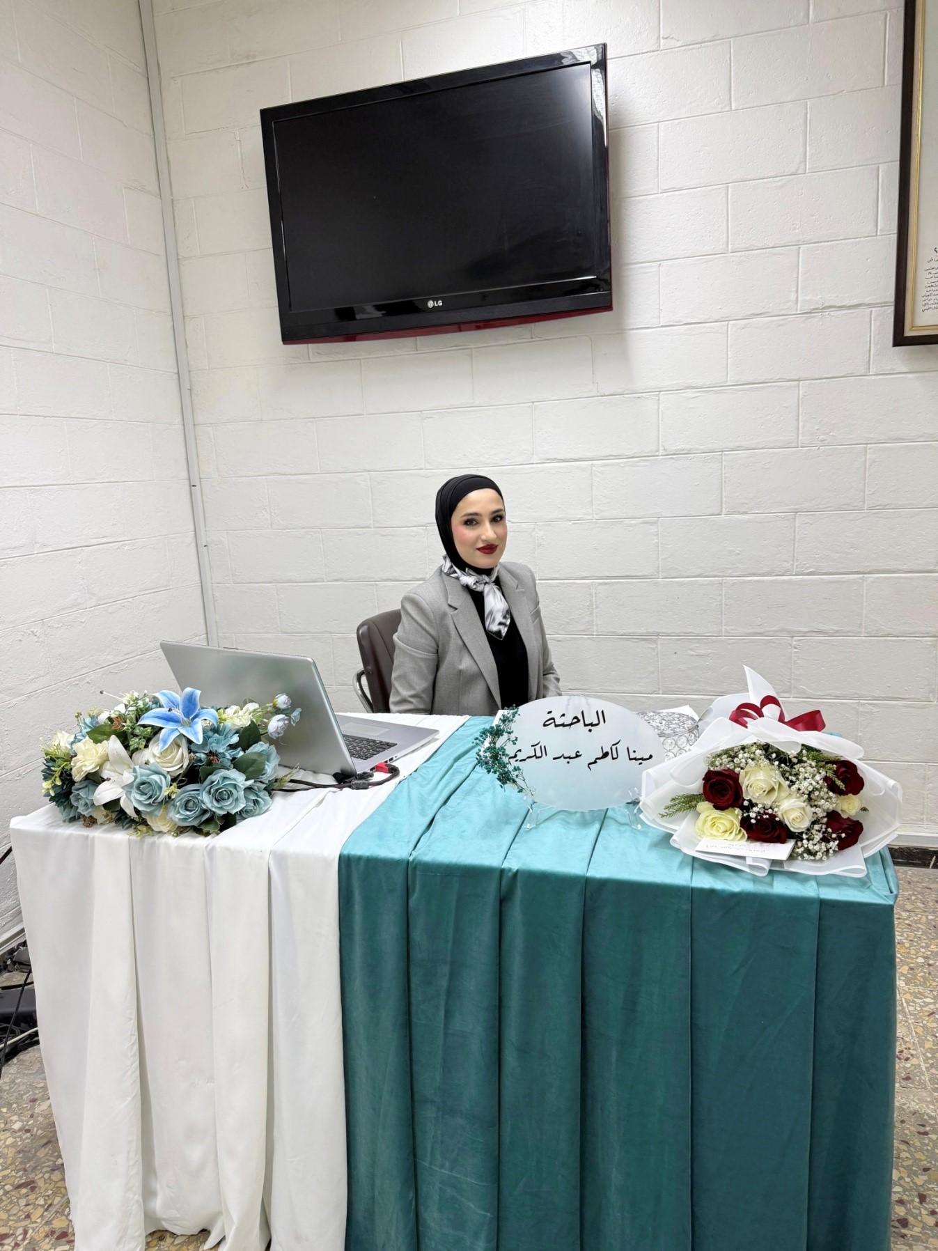
On Wednesday, October 29, 2025, the College of Engineering at the University of Baghdad witnessed the public defense of the Master’s thesis submitted by Mina Kazim Abdul Karim, a student in the Department of Surveying Engineering. She defended her thesis entitled “Detection of Desertification Changes in Wasit Governorate Using Geospatial Technologies” at Professor Fawzi Al-Khalisi Hall, under the supervision of Professor Dr. Hussein Sabah Jaber.
The study aimed to monitor desertification changes in Wasit Governorate, which covers an area of 17,889.09 km², over a period of 24 years (2000–2024), using remote sensing and Geographic Information Systems (GIS) techniques.
The research involved processing satellite images from Landsat 5 TM (2000) and Landsat 8–9 OLI (2024) using ENVI v5.3 and ArcGIS 10.8 software. A Land Use/Land Cover (LULC) classification was performed using a supervised classification approach with the Maximum Likelihood Classifier (MLC) to produce thematic maps for five classified categories within the study area: vegetation cover, water bodies, urban areas, saline areas, and barren lands. In addition, spectral indices related to desertification—such as NDVI, MNDWI, BSI, and NDBI—were used to analyze changes.
Following the public defense and after the discussion committee reviewed the student’s defense and evaluated the thesis, the committee awarded the researcher the Master’s degree in Surveying Engineering.