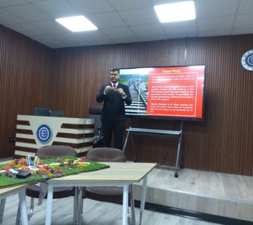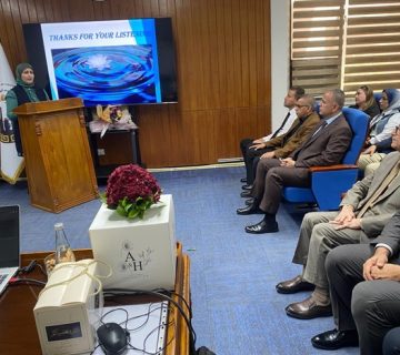
Professor Dr. Meytham Mutashar Sharqi, Head of the Department of Surveying Engineering, participated as a committee member in the master’s thesis defense of the student Ali Iyad Hussein, specializing in Remote Sensing and Image Processing, on the morning of Tuesday, February 25, 2025. His thesis was titled:
“Monitoring of Earthquake Precursors Using Satellite Images and Ground Experiments”
Abstract
Surface deformations caused by earthquakes and oil extraction result in significant subsurface changes. Earthquakes trigger sudden ground movements due to the release of tectonic stress, while oil extraction leads to gradual subsidence as underground reservoirs are depleted. Both processes can be monitored using advanced remote sensing techniques to assess their impact on the Earth’s surface.
This study investigates ground deformation caused by two distinct phenomena: seismic activity in Khanaqin and Baladruz from November 2019 to May 11, 2019, representing natural disasters, and oil extraction in Basra’s Rumaila oil field from 2017 to 2023, representing human-induced disasters, using remote sensing technologies. Synthetic Aperture Radar (SAR) images in Single Look Complex (SLC) mode from the Sentinel-1 satellite were used to analyze surface displacement in the study areas. Differential Interferometric SAR (DInSAR) techniques were applied to detect and accurately measure ground deformations down to the centimeter level. Analyses conducted using SNAP and ArcGIS Pro software revealed significant deformation patterns in areas affected by seismic activity and oil extraction. A comparative assessment of deformation rates and trends across the studied areas highlighted the varying impacts of these geological and human-induced processes. The results showed a maximum uplift of 39 mm and subsidence of 47 mm in Khanaqin, a subsidence of -161 mm in Baladruz within three months, and a subsidence of 1.67 meters around the Rumaila oil field over six years. Several key conclusions were drawn regarding the observed deformations’ spatial distribution, magnitude, and impact. The study demonstrated the effectiveness of remote sensing in monitoring and measuring surface deformations, providing valuable insights for disaster management and sustainable resource extraction. It also highlighted that even low-magnitude earthquakes can cause ground deformations that affect infrastructure. Moreover, large-scale oil extraction poses risks comparable to natural disasters, with additional hazards such as environmental pollution.