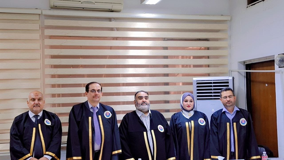
The College of Engineering at the University of Baghdad witnessed the public discussion of the Master’s thesis submitted by postgraduate student Sarah Majeed Wadi in the Department of Surveying Engineering, entitled:
“Land Uses between Theoretical and Applied Urban Planning in the Capital, Baghdad, Using Geographic Information Systems.”
The discussion was held on Wednesday, August 26, 2026, in the Prof. Fawzi Al-Khalisi Hall, under the supervision of Prof. Dr. Youssef Hussein Khalaf and Prof. Dr. Alaa Dawood Salman.
Objectives of the Thesis
The thesis aims to assess the impact of climate change, particularly fluctuations in rainfall and periods of drought, on the soil properties of Baghdad and the resulting geotechnical hazards. The study focuses on:
- Analyzing the impact of climate change on the physical and mechanical properties of soil.
- Identifying geotechnical hazards associated with alternating drought and wet conditions, including differential settlement, swelling, shrinkage, and foundation instability.
- Monitoring spatial and temporal changes in soil moisture and vegetation cover using Remote Sensing (RS) and Geographic Information Systems (GIS).
- Integrating satellite imagery and remote-sensing data with information obtained from 143 groundwater wells.
- Preparing spatial maps of geotechnical hazards across Baghdad to support urban planning and engineering design.
Conclusions
The study reached several important conclusions. It revealed clear fluctuations in the climatic and environmental patterns of Baghdad, with variations in rainfall and drought having a significant impact on soil moisture and soil behavior.
A very strong inverse correlation was identified between changes in vegetation cover and surface moisture. The Normalized Difference Water Index (NDWI) and Normalized Difference Vegetation Index (NDVI) proved effective in monitoring variations in surface moisture and vegetation cover, respectively.
The study also identified a weak but statistically significant correlation between groundwater depth and changes in surface moisture.
Repeated cycles of drought and wet conditions resulted in changes in shear strength, cohesion, and the angle of internal friction, consequently affecting the bearing capacity of the soil.
The research identified areas of high geotechnical risk associated with fluctuations in groundwater levels and soil sensitivity. These areas are particularly susceptible to differential settlement, swelling, and shrinkage.
The integration of remote sensing, field-based geotechnical data, and GIS proved to be an economical and efficient approach for assessing geotechnical risks at the city scale. This integrated methodology can provide valuable support for urban planning, infrastructure development, and engineering design in Baghdad.
Finally, the study classified the hydrological and environmental changes observed in Baghdad into four main categories: drought and degradation; waterlogging and salinization; managed irrigation; and rewetting and recovery.