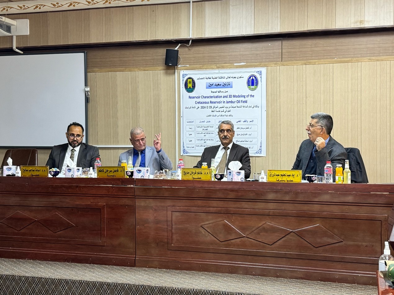
The MSc thesis, titled “Reservoir Characterization with a 3D Model of the Upper Cretaceous Reservoir / Qamchuqa Formation in Jambur oil field” for the student (Nazaneen Saeed Amin), has been debated in the Department of Petroleum Engineering on Thursday, February 29, 2024, in the department’s graduate studies hall, where the debate committee consisted of the following:
- 1. Dr. Fadhil Sarhan Kazem, University of Technology: Chairman
- 2. Prof. Dr. Ghanim Madih Farman, University of Baghdad: Member
- 3. Prof. Dr. Osama Sahib Saleh, University of Baghdad: Member
- 4. Ayad Abdel Halim Abdel Razzaq, University of Baghdad: Member and Supervisor
After the holding the debate, the master’s student has come up with:
ABSTRACT
The reliability of any reservoir model depends on the validity of the geological model to forecast future performance and field development. The accurate predicated geological model depends on accurate estimates of the petrophysical properties of the fluids and rocks, which differ across spatial parts of the field. Classical reservoir characterization methodologies may offer spatial information on reservoir properties by integrating well-log data with core data.
The study aims to analyze the petrophysical features and lithology structure of the Qamchuqa formation, which forms the reservoir, develop a 3D geological model to describe reservoir characteristics and estimate hydrocarbon reserves accurately. The model was developed based on conventional log data from eight wells and interpreted using Techlog software version 2018. The assessment integration was completed by analyzing the core data from six wells using four methodologies through interactive Petrophysical version 4.4 software. The well-log data estimation for petrophysical parameters provided a total average rock matrix porosity of 8% based on six wells in the northern portion, whereas wells Ja-32 and 41 in the southern portion had poor porosity. The water saturation of the reservoir, as measured by Archie’s equation, was 33%.
These parameters were distributed in the three-dimensional geological model using the variogram model for simulation and the Sequential Gaussian Simulation logarithmic estimate technique. The equations obtained from the core analysis by the Hydraulic Flow Zone Indicator approach were applied to create the permeability model. In general, the result showed that the northern portion of the reservoir is contributing significantly to field production. in contrast to the southern region, the first zone UQ, followed by the third zone UQ2, are both more productive than other zones. Finally, the upper Cretaceous reservoir rock matrix in the Jambur field was calculated using the volumetric method and holds hydrocarbons worth 800 million barrels of oil and 1700 billion standard cubic feet of gas.
The Objectives of the Study
The purpose of this study is to characterize the petrophysical properties of the upper Cretaceous reservoir formed by the upper Qamchuqa formation in the Jambur oil field, such as shale volume, porosity, water saturation, net pay, permeability, and lithology identification, using conventional well-logs data and routine core analysis data. Construction of a three-dimensional geology model and distribution of petrophysical properties for a vertical and horizontal variation assessment of the reservoir. Followed by calculating the initial hydrocarbon in place.
Recommendations
- An integrated study of petrophysical characteristics and a realistic geological model of the reservoir is essential; this requires the construction of the fracture model of the fracture system in case the data are available, which is highly recommended to be a more realistic and complete description of the static model.
- The 3D seismic inversion method is required for exact rock property calibration and is a great option for accurate structure and fault images.