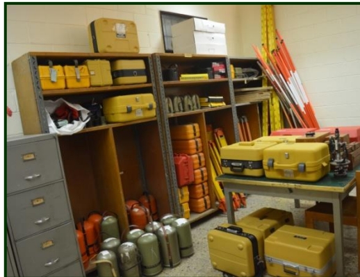
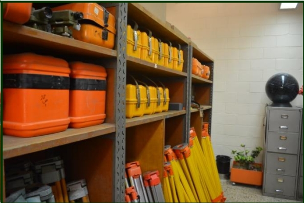
This laboratory contains various devices that help train students in all measurement processes, providing everything a survey engineer needs in practical life. These devices can be categorized as follows:
Group 1: Optical Devices includes modern electronic devices for measuring distances, angles, directions, areas, and volumes:
- Level (precise level, Digital level, Automatic)
- Theodolite (T1, T2)
- Total Station Leica
- Total Station Topcon
Group 2: Satellite-Based Devices includes GPS devices of both surveying and navigation types, used for determining ground positions with various levels of accuracy by receiving signals transmitted by satellites:
- Navigation GPS Garmin
- Differential GPS Leica 1200
- Differential GPS Topcon GR5
- Measuring wheels, Geodometer, EDM, etc.
Photogrammetry and laser scanning are fundamental pillars in the field of surveying engineering. This field aims to obtain highly accurate and reliable information about objects and land features, processing it with advanced engineering techniques to produce maps and 3D digital models for various scientific and engineering applications.
In this lab, students are trained to create geometric mathematical models of aerial and ground imagery and use laser scanning data to produce various engineering products with extremely high accuracy using modern and advanced devices from multiple global companies.
Additionally, students train on photogrammetric devices to measure image coordinates and perform triangulation operations based on ground control points to produce topographic maps, building façade maps, and cross-sections for various applications.
The laboratory also contains traditional ground cameras and modern digital cameras with high resolution and clarity for precise applications such as monitoring large structures, infrastructure, and studying cracks and deviations for remediation purposes.
The lab is also equipped with a laser scanner integrated with precise ground cameras to collect 3D data with high accuracy in a very short time.
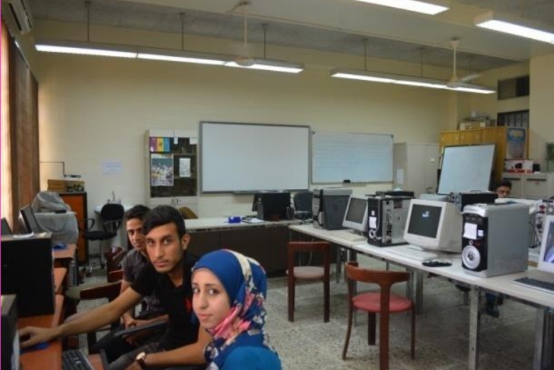
The Computing Laboratory is one of the most important labs for practical courses in the Department of Surveying Engineering. This laboratory houses approximately forty computers running the Windows operating system, with many software tools installed on these computers, including MATLAB, ArcGIS, and AutoCAD, as well as various programming languages like Python. These tools train first- and second-year students to develop and customize software using these languages.
The lab is also utilized by higher-year students for training on various software suites in practical courses such as CAD, GIS, remote sensing, and cartography. Moreover, fourth-year students use the lab for executing and preparing graduation projects. The lab enables seamless data transfer from surveying devices like Total Stations and GPS to computers for spatial data processing and topographic map generation using specialized software.
The Department of Surveying Engineering continuously strives to develop this vital laboratory due to its significant role in enhancing the technical and intellectual abilities of students by installing the latest software directly related to surveying engineering.


