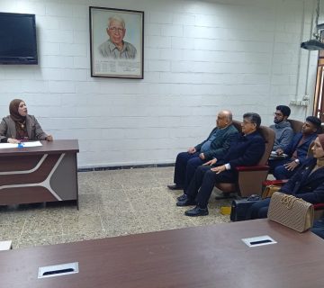
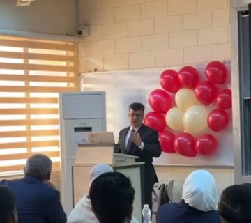
The public discussion of the master’s thesis by student Falah Attia Mohamed, from the Department of Survey Engineering, was conducted. The thesis titled “Detecting the change in the Darbandikhan Dam reservoir using remote sensing and GIS techniques” was discussed on Thursday, 14/03/2024, in the Bayrouni Hall.
The examination committee included respected members:
- Prof. Dr. Karim Hassan Alwan (Chair).
- Prof. Dr. Alia Hussein Ali (Member).
- Assist. Prof. Dr. Ahmed Hussein Hamdallah (Member).
- Prof. Hussain Sabah Jaber (Member and Supervisor
Reservoirs are an essential means of managing water resources. Reservoirs serve to reduce the effects of seasonal and interannual fluctuations in river flow, thus facilitating water supply, flood control, hydroelectric power generation, recreation, and other water uses. To detect a change in the study area, which includes Darbandikhan Dam Lake, remote sensing techniques and geographic information systems were used in this study to help interpret and analyze satellite images, leading to placing the information correctly in front of decision-makers, by processing 6 images from the Sentinel 2 satellite. The images were processed using the SNAP 9.0 and ArcMap programs and were used to classify these images and calculate some remote sensing indicators, namely the average difference of water bodies. This study adopted the method of using the MNDWI index in the Snapdesktop 9.0 program and the unsupervised classification method (K-means) in the ArcMap program. The MNDWI index was used because it is the most accurate in determining coastlines, that is, the separation between water and non-water, as it depends on the green wave spectrum and the infrared wave spectrum. The area of Darbandikhan Dam Lake was before 2017, and consequently, the area of the Darbandikhan Dam Lake before 2017 in 2015 and 2016 was (54.14 and 52.12) km2, respectively. It decreased in 2017 to 46.68 km2 and reached its lowest value in 2023, so the area was 33.65 and the volume was 0.9152 milliard m3, according to the results. The validity of the results was evaluated after comparing them with the official data obtained from the dam administration. Where the root mean square error (RMS) was (0.658) and (0.012) for area and volume respectively.


