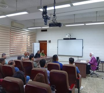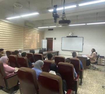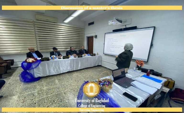
The public discussion of the master’s thesis by student Rusul Kareem Khalif, from the Department of Survey Engineering, was conducted. The thesis titled “Spatial Analysis of the Distribution and Efficiency of Educational Services using Geographic Information System (GIS): A Case Study of Kut City, Iraq” was discussed on Thursday, 1/2/2024, in the Bayrouni Hall.
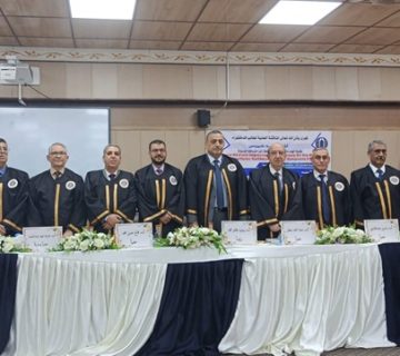
The examination committee included respected members:
1. Prof. Mahmoud Diab Ahmed (Chair).
2. Prof. Faisal Ghazi Mohammed (Member).
3. Assoc. Prof. Haider Abdul Razzaq Abdul Dabas (Member).
4. Prof. Hussain Sabah Jaber (Member and Supervisor).
Department Media Team
Abstract
Iraq education system has been facing significant challenges in providing quality educational services, particularly for schools. The most important of these challenges are the number of schools, their distribution, and the difficulty of students reaching schools. The assessment and analysis of spatial patterns plays a crucial role in enhancing the accessibility and quality of education using Geographic Information System (GIS). Spatial and attribute data of schools were collected by Wasit Education Directorate using GPS. Spatial analysis techniques were utilized fo primary and secondary schools across four districts in Kut city, Iraq, including buffer analysis, directional distribution, kernel density, Moran’s I, and Thiessen polygons. The districts examined were Nahiat Wasit, Kut, Badraa, and Shikh Saad. Buffer analysis uncovered substantial discrepancies between served and unserved areas across districts, with justice ratios ranging from -97.79% in Badraa to – 85.43% in Kut for primary schools. The served areas were 27.58 km2 and 211.27 km2 in Shikh Saad and Kut, respectively. Secondary school buffer analysis showed served areas spanning 94.74 km2 in Nahiat Wasit to 658.50km2 in Kut, while unserved areas were far larger, spanning 360.40 km2 to 4831.71 km2. Directional distribution analysis revealed primary schools oriented along specific axes in each district, while secondary schools showed more concentrated directional patterns. Kernel density values indicated primary school concentrations up to 91,660 in Kut district and secondary concentrations up to 79,879 in Kut. Moran’s, I detected no significant spatial autocorrelation for any schools. The results exposed considerable gaps in educational access and highlighted uneven, inequitable distribution of schools across Kut city. The techniques used offer valuable quantitative insights to inform evidence-based planning and policymaking.