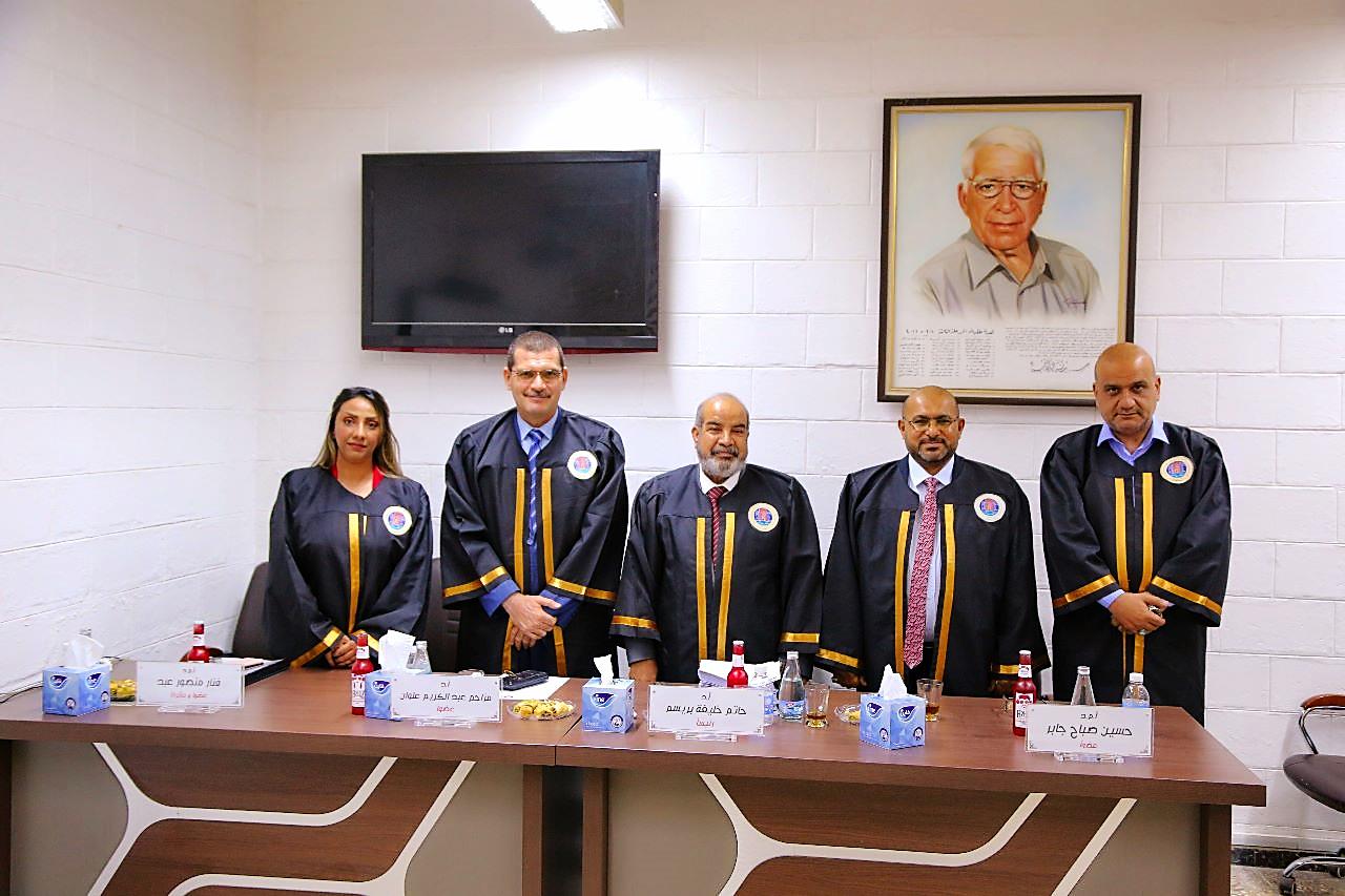
Department of Survey Engineering at the College of Engineering, University of Baghdad, held an MSc thesis examination titled:
“Detecting Potential Archeological Features in Ur Based on UAV-Photogrammetry”
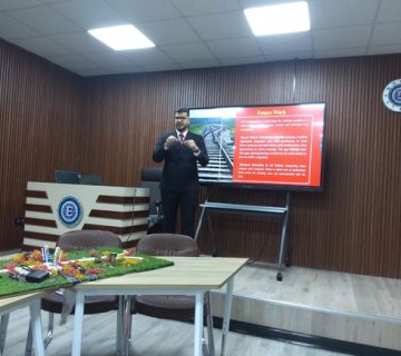
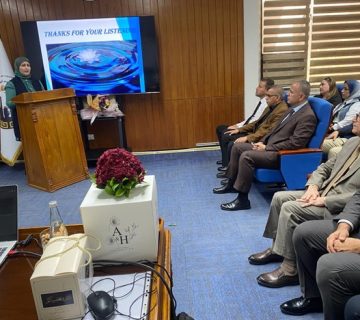
By the student (Alaa Shuail Jaber) and supervised by (Asst. Prof. Dr. Fanar M. Abed). The examination committee consisted of (Prof. Dr. Hatem Khaleefah Breesam) as Chairman, and the membership of each of (Prof. Dr. Imzahim Abdul Karim Alwan) and (Asst. Prof. Hussein Sabah Jaber) as members. After conducting the public discussion and listening to the student’s defense, the thesis was accepted. It was summarized as follows:
The competition is still ongoing among remote sensing techniques in archeology and cultural heritage applications to detect, document, and preserve ancient buried monuments from past civilizations. Structure from Motion (SfM) Photogrammetry-based unmanned aerial vehicles (UAV) is one of the most important remote sensing techniques used in data collection for the purpose of creating 3D point cloud products to reflect reality. It enables end users to produce raster images and topographical models of archaeological sites, for potential feature detection through visual analysis techniques. Therefore; the main aim of this research is to reveal a new fusion methodology applied to the extracted from SfM-photogrammetry towards potential archaeological features detection in the famous archeological site of Ur south of Iraq. The UAV-based photogrammetry methodology was made using optimal flight parameters, such as 120 m flying height, 80% end lap, 70% side lap, and double grid coverage that delivers a 0.0327 m Ground Sampling Distance (GSD) dataset; and a data processing pipeline. The methodology proposes the use of analysis tools to extract new hybrid raster images derived from standard photogrammetric products based on a careful selection of parameters, the methodology focuses on integrating multiple raster data extracted from a Digital Terrain Model (DTM) to discover features that may never be detected from a single standalone image raster, such as paths, temples, etc. The raster data and topographic modeling obtained a geometric accuracy of 5.19 cm. While the extracted DTM revealed a resolution of 6.44 cm/pixel and a point density of 241 points / m2, which was the main input in the production of raster images within the QGIS package such as (slope, aspect, hillshade, and RRIM). The visualization techniques applied in this research through data analysis and interpretation enabled the discovery of many potential new archaeological features, and they were represented by a high- accuracy digital map after validating the results in comparison with the maps and settlement theories that were reviewed in previous studies. It was concluded that the new hybrid raster images and integrated multiple raster data have proven effective in showing the topographical characteristics of the unexcavated archaeological features clearly, which may reveal their identity, as well as documenting and preserving the excavated archaeological features. The research also includes a geometric validation process through measuring ground reference control points to check the quality of the delivered data and the 3D products obtained from the fusion methodology.

Related Posts


Comments are disabled.